Know your way in.
Use the access records to plan. Confirm parking, permission, and local signs before you go.
A field atlas for the water you know,
and the stretch you haven’t found yet.
A little knowledge.
A whole lot of water.
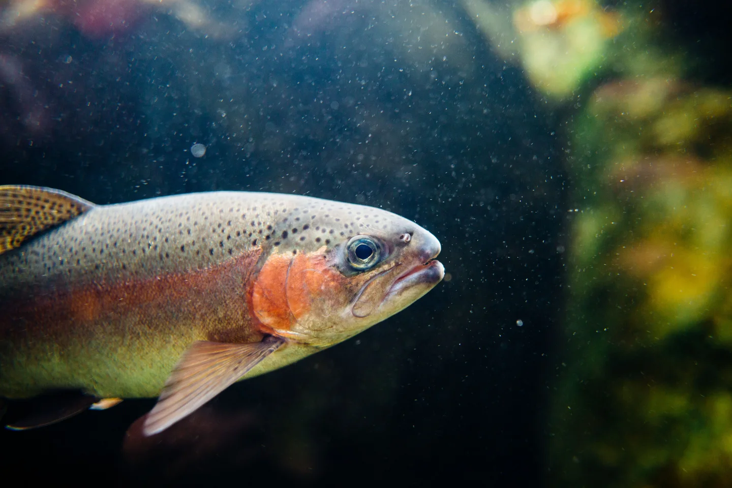
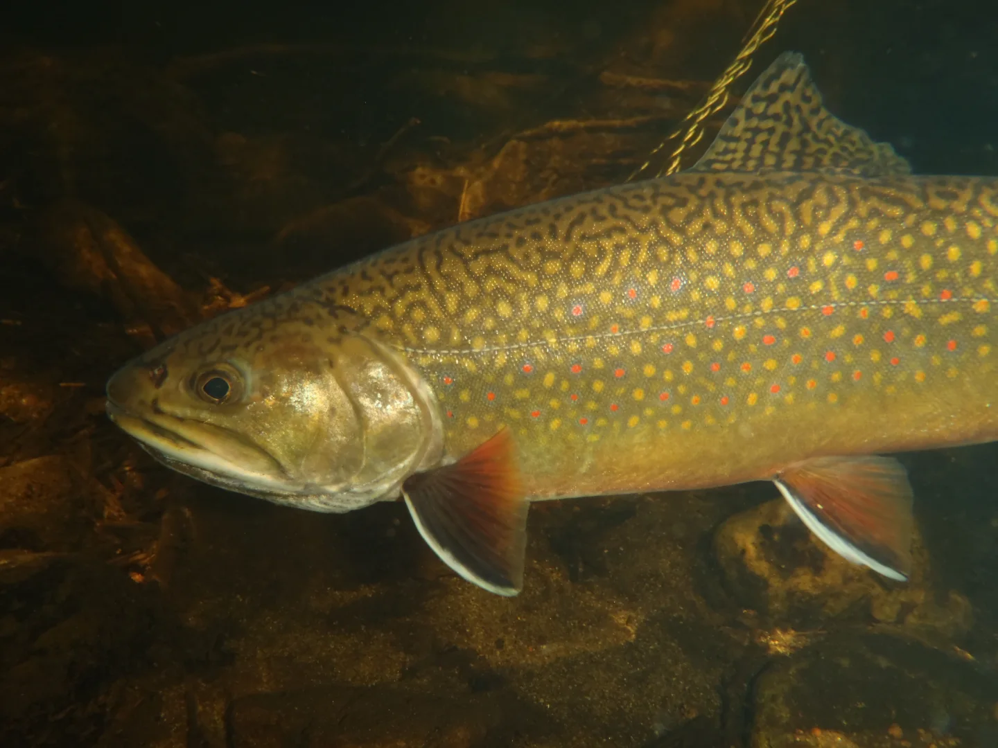
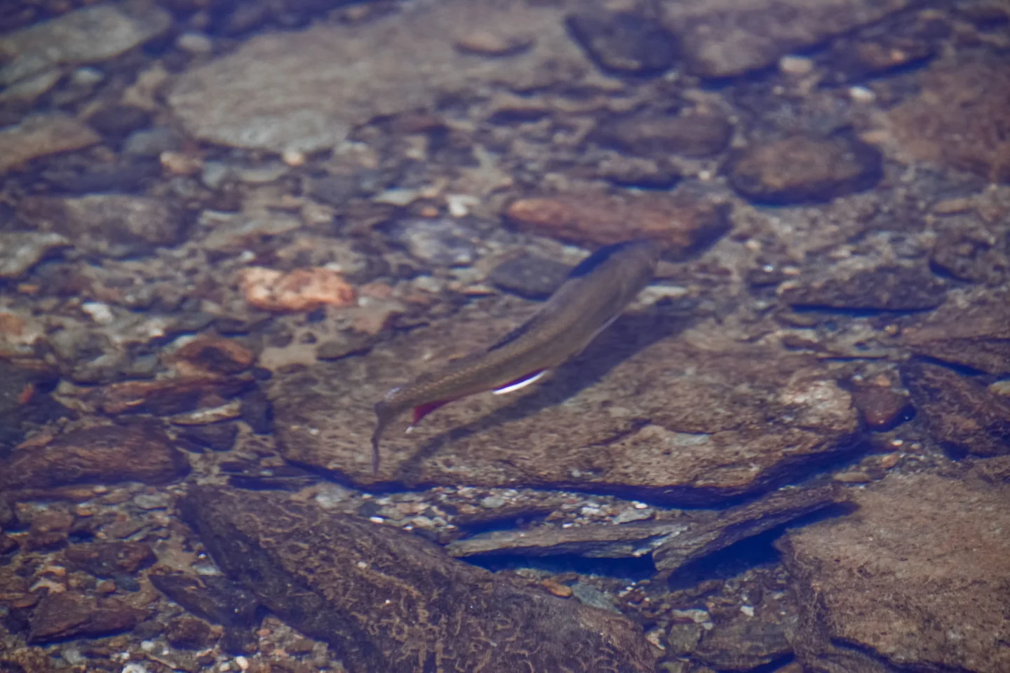
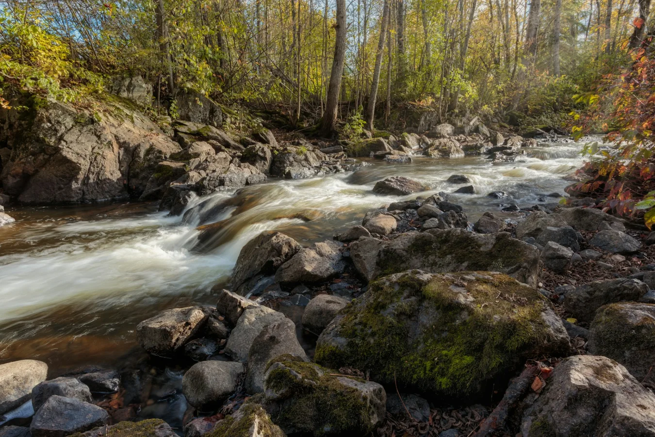
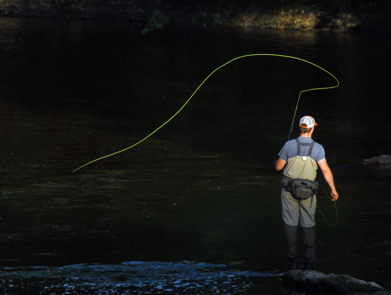
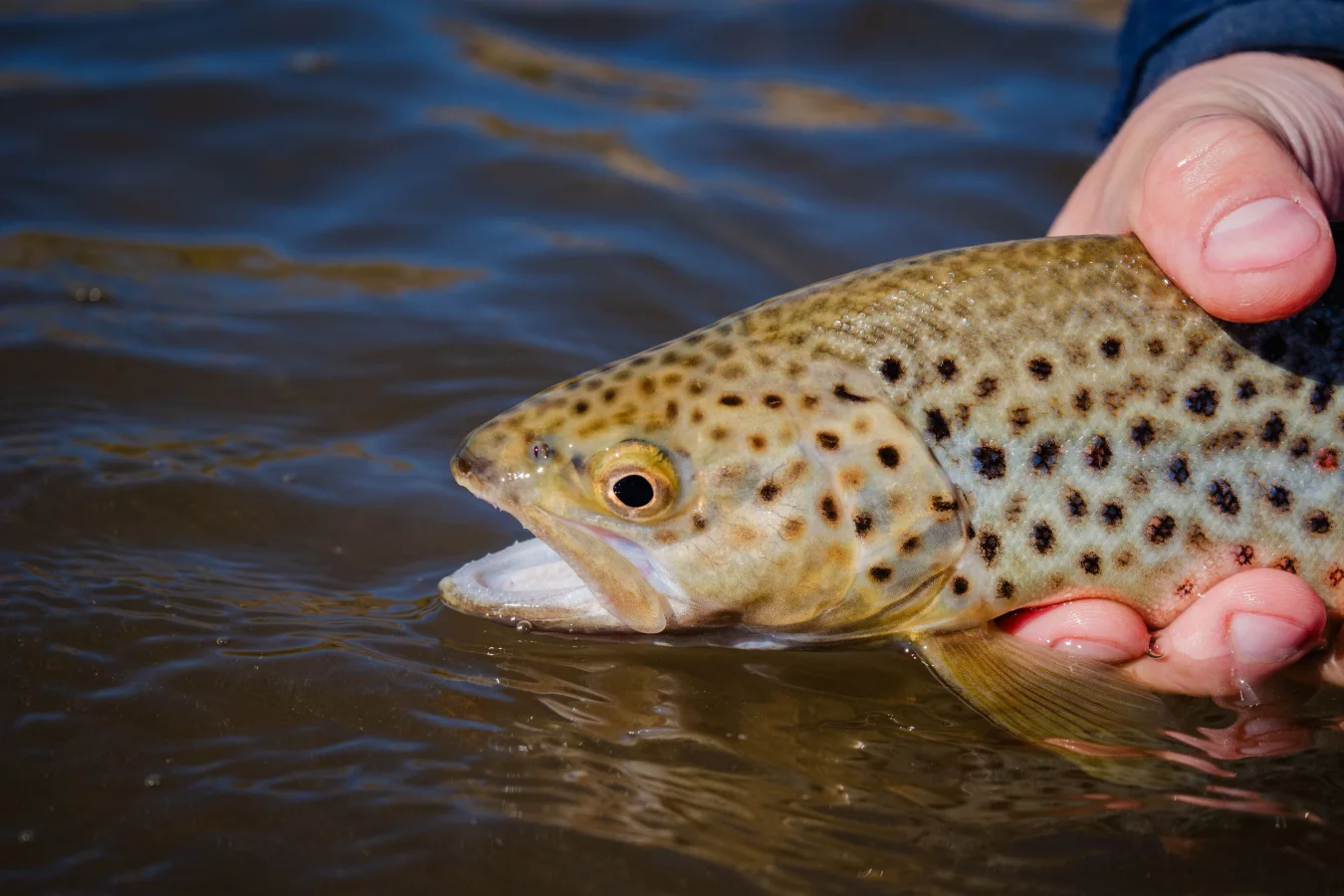
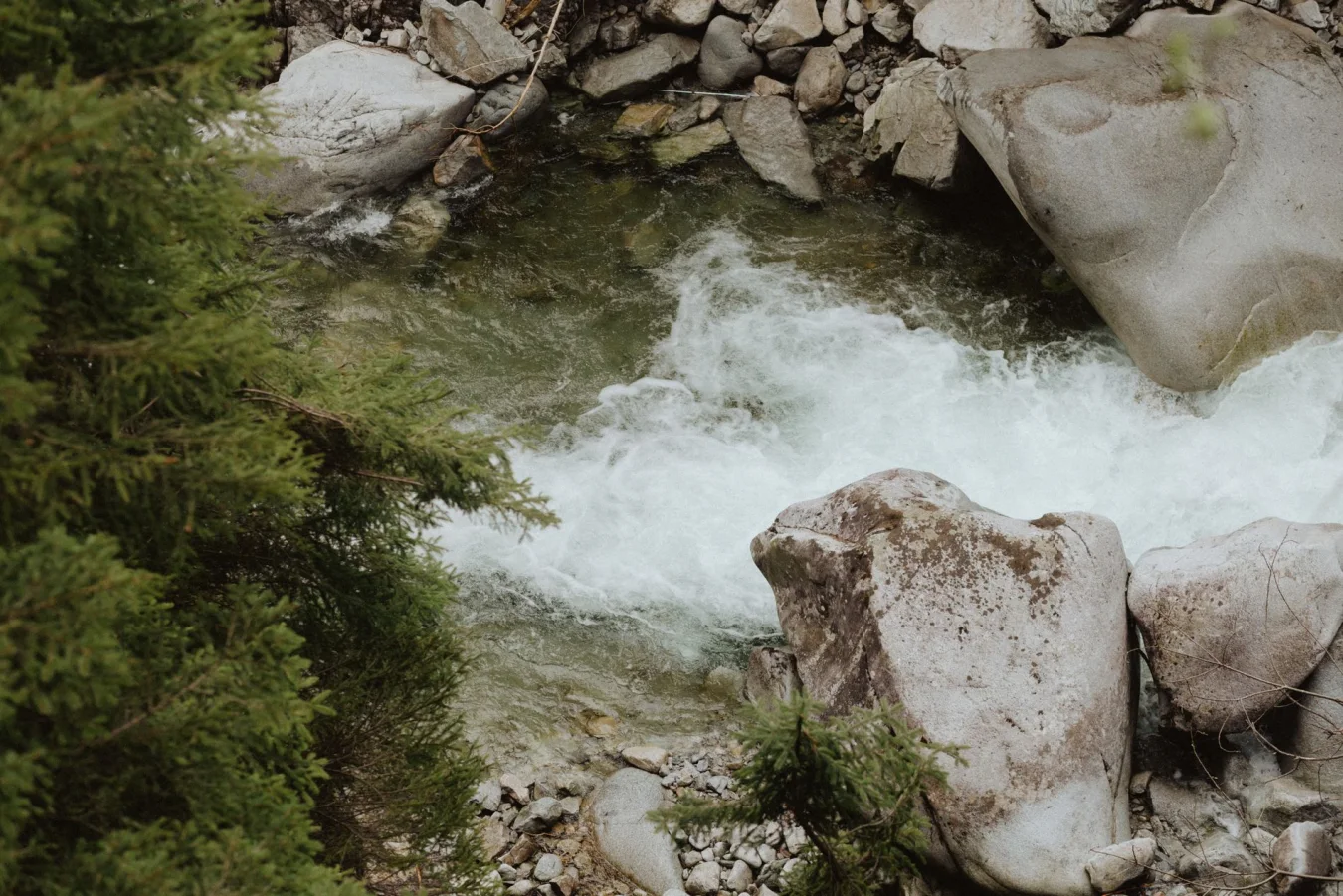
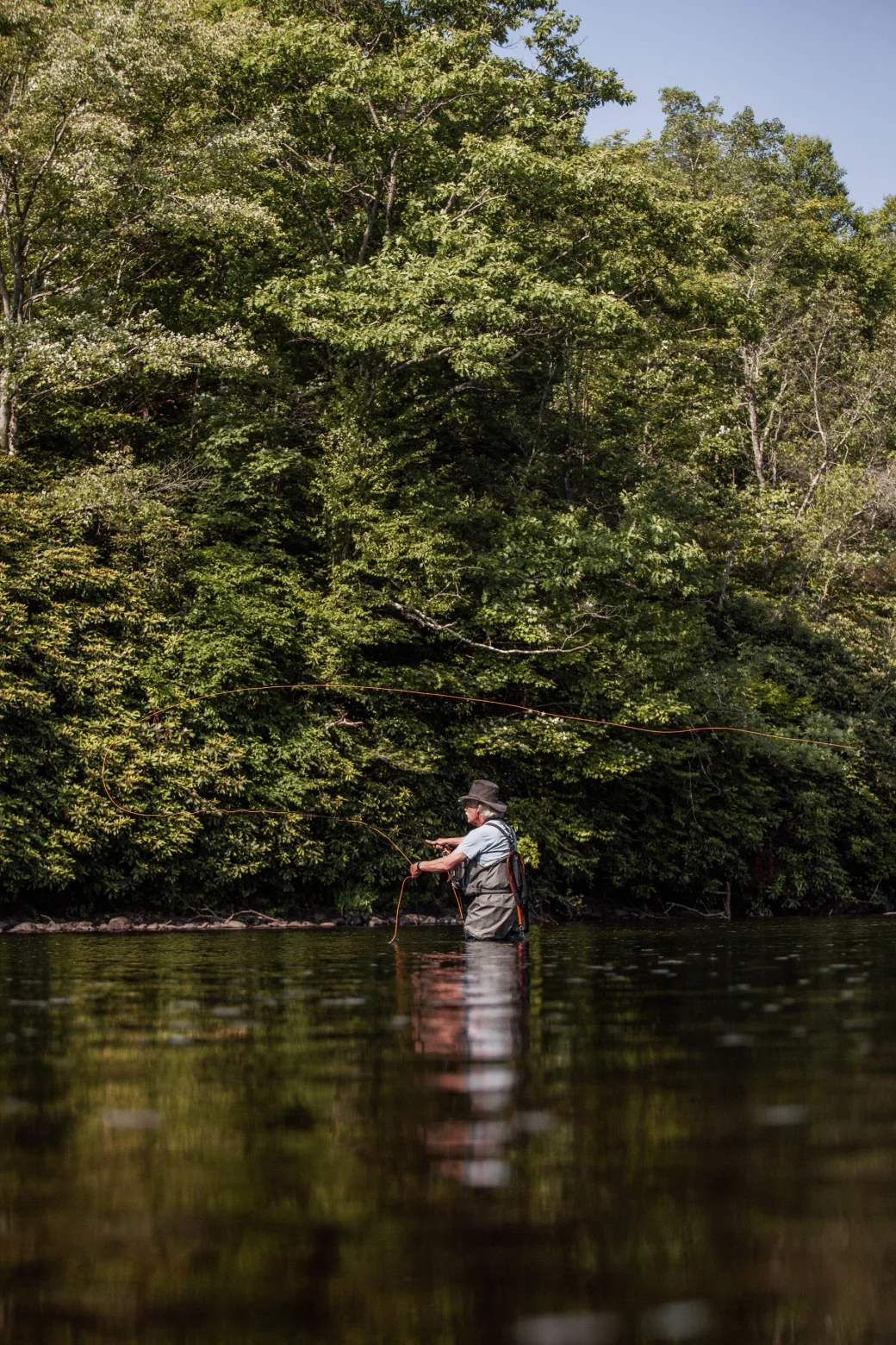
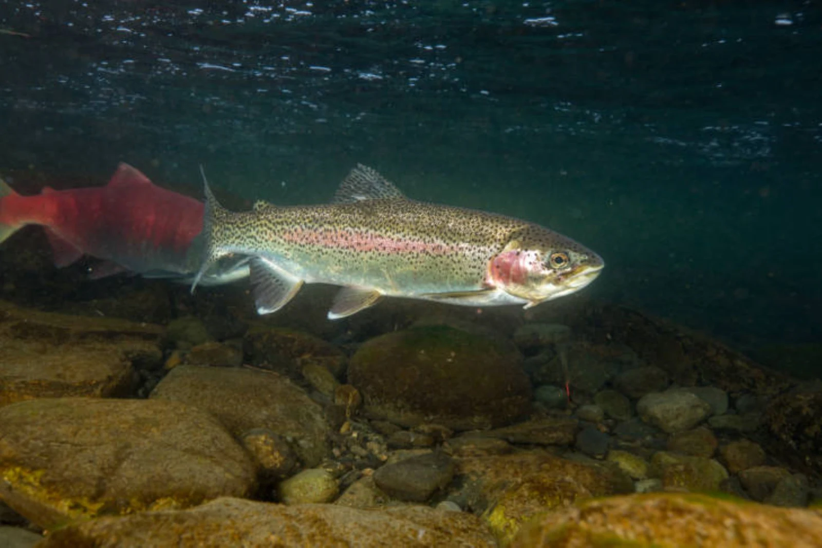
Three places to start. Trace a river’s course, then take a closer look in the atlas.
Explore all watersMississauga/Brampton
43.5890° N / 79.6441° W
Streetsville / Erindale Park / Port Credit
Follow the provincial trout records across Ontario, or start with a detailed river guide.
Credit, Humber and Ganaraska show observed river flow, water levels and nearby air temperature when readings are available.
Look for verified access destinations with directions and links to the local authority.
03 / From the riverbank
The best part of a good map is where it takes you. Look after the water when you get there.
Use the access records to plan. Confirm parking, permission, and local signs before you go.
Seasons and limits can change along the same river. Check the current rules for your exact location.
Ontario fishing regulations